
Just to the west of us is a little town called L’Ile Bouchard. I’m afraid that we regard it more as the favoured location for our supermarket shopping than anywhere very touristique.

But then this took our eye in La Rolandiere’s reception.

It gives a map and commentary for four tours, in the four quadrants of the compass around L’Ile Bouchard. And once you’ve got used to its little idiosyncrasies, the tours are absolutely fascinating. They’re obviously designed by enthusiastic local historians and are full of local knowledge about Rabelais, Carolingian and Romanesque architecture, and little-known scenic lookout points that illustrate historic land usage. We’ve done the famous chateaux many times before, so these little local tours are a refreshing change.
We did the first tour on Sunday. To be honest, we almost gave up before we discovered the peculiarities of both the map and the instructions.
First, the map is one of those like the London Underground, where the relative positions of places are roughly accurate, but the distances between them make no attempt at scale. What looks like 2km on the map may indeed be 2km but it may equally well be 500m or 5km.
Even worse is the confusion between right and left. Eventually we worked out that if a feature was to be seen on the left, it almost certainly was. But if the instructions said to turn left, then it was highly likely to be a turn to the right. My own theory is that the translator (it’s only in English, not French) had reasoned that because the English drive on the wrong side of the road, then French left must be English right and vice versa.
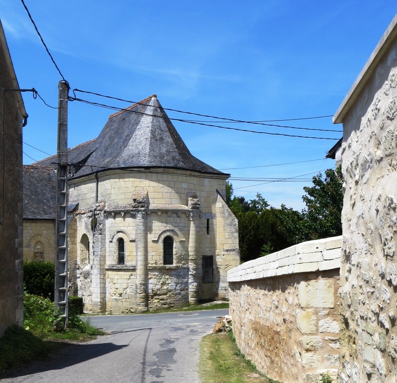
And finally, some of the landmarks just don’t seem to be there. On Monday’s tour we were invited to stop to admire the Romanesque frontage of a village church. Now I’m as much of a fan of Romanesque frontages as anyone We drove slowly into the village from the south, didn’t spot the church, so turned around and drove back from the north. Then we did it from west to east and east to west. Still no sign. Had they converted it into a farmhouse? Was it perhaps in a vieux bourg some distance away? Who knows?
But here are some of the things that we DID see:
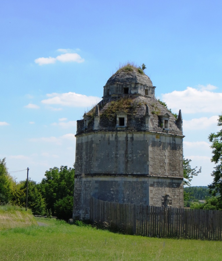
Back in the C16, keeping doves was favoured by the aristocaracy. This isn’t a folly, but a huge hexagonal dovecot.
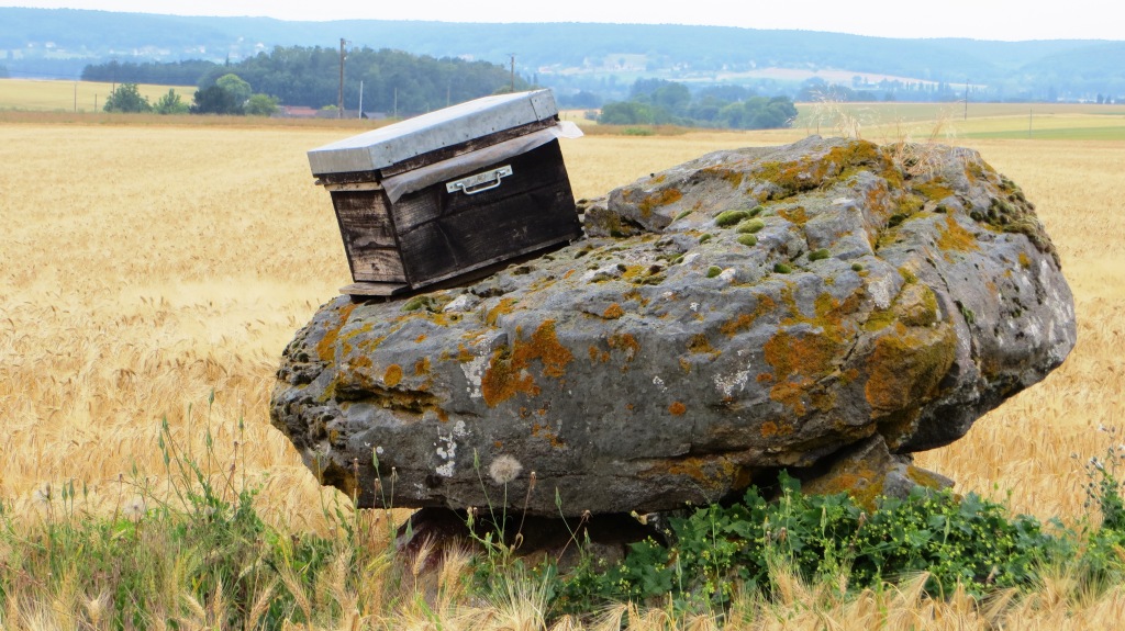
This rather modestly sized dolmen is known as Gargantua’s Table. That is indeed a beehive on top of it. There was an apiary nearby, and we guessed that this hive was placed to catch unexpected swarms.

This has been a ford across the Vienne since Roman times …

… as explained here.

A tobacco barn. Tobacco is still grown in Touraine, albeit on a much smaller scale than in its heyday.

Looking south from the hills above the Vienne …

… and an explanation of the panoramic view.
The Carolingian sanctuary of the Vieux-Cravant, now a museum.

TThe sanctuary is unfortunately not well-preserved, but traces of its former glory remain. This is a detail from the vaulted roof.

Outside in the sunshine, we disturbed the basking lizards. We stood very still and they cautiously re-emerged from hiding.

This tour ended with a bumpy ride along the farm tracks through the Cravant vineyards.
